
Alba Iulia and Salina Turda
With map
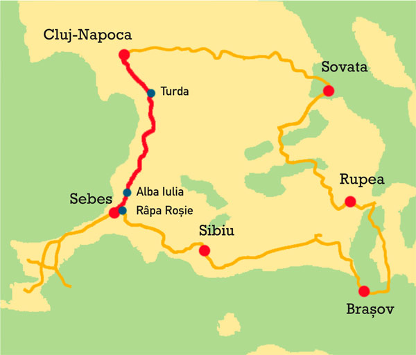
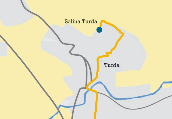
Alba Iulia and Salina Turda with map – From Hunedoara to Cluj-Napoca (Romania), stopping at Râpa Roșie, Alba Iulia and Salina Turda
185 km / 2h 185 kms / 2hrs 50mins.
Râpa Roșie
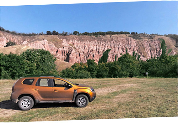
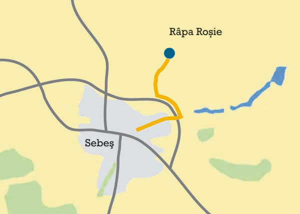
(Red ravine in Romenian) is five kilometres away from Sebes. A dirt road leads to this nature reserve.
The reddish hue of this weirdly-shaped rock formations utterly contrasts with the colour of the surrounding vegetation. They stretch for 800 metres and range from 50 to 125 metres in height.
They are really quaint and even more picturesque at sunset.
Alba Iulia
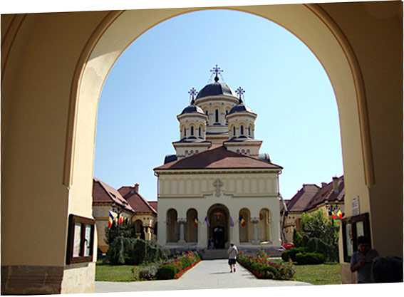
This star-shaped fortress would be really worth a picture from above. Alba Iulia has a very nice historic centre and is surrounded by imposing walls, in the style of fortified cities.
Extensive restoration works, partly financed by European funds, have been recently carried out.
During the summer, the town hosts a number of festivals and, every Sunday, a very nice military tattoo takes place.
You can park your car along the walls.
Salina Turda
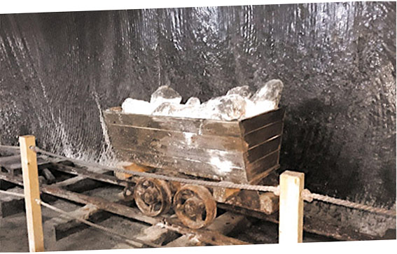
This salt mine, opened to the public in 1992, was used first as an air raid shelter, then for cheese storage.
Since you go deep into the mine, it is advisable to wear something warm – the deeper you walk, the colder.
As with almost all attractions in Romania, the entrance ticket to Salina Trurda is convenient.
High salt walls, streaked as if they were painted, lead to different tunnels: one wonders how, back then, people could dig so deep in such unfavourable conditions.
It’s a unique opportunity for those who have not yet had the chance to visit a mine.